Safe Streets & Roads
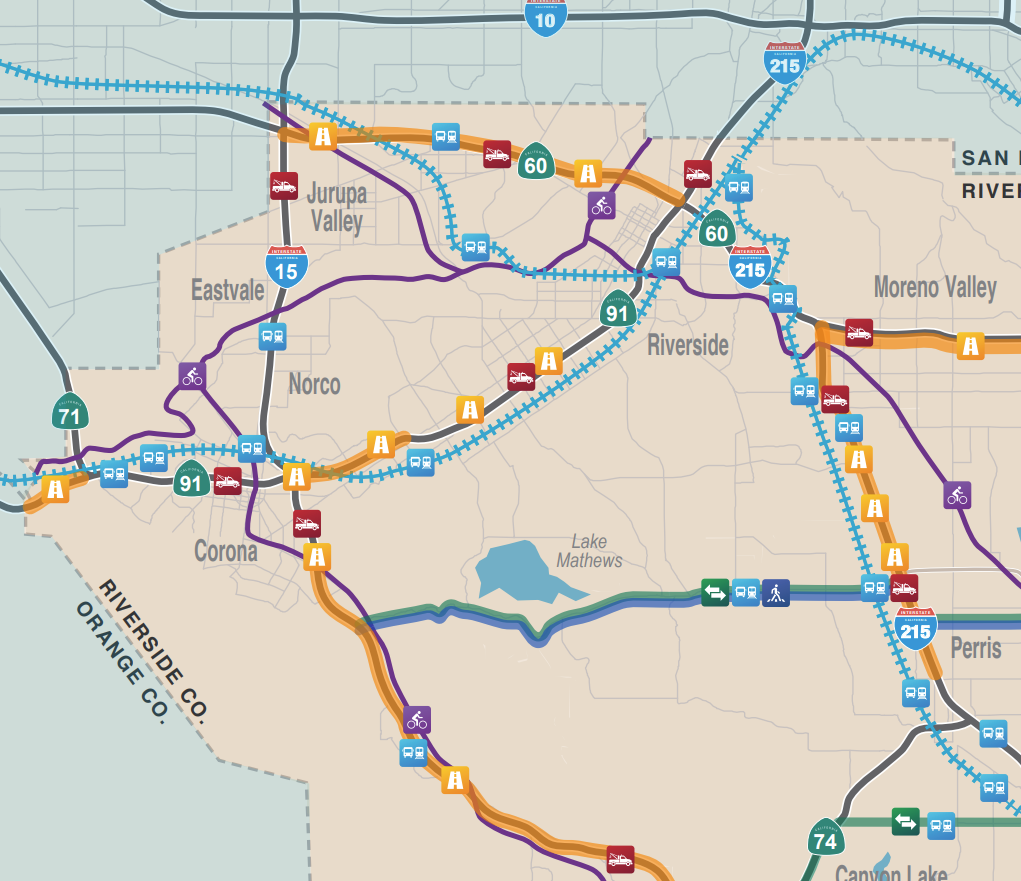
The Traffic Relief Plan is a local strategy to improve traffic flow and safety, keep infrastructure in good condition, provide better public transportation, and drive economic development in Riverside County. RCTC is updating the plan and is seeking public input to reflect the current and future needs of Riverside County residents.
Pothole repair and road maintenance; sidewalks and pedestrian safety infrastructure; protected bicycle lanes; roadway improvements in high-accident areas; bus shelters; bridge repairs; improvements to railroad crossings, including bridges to separate roads from railroad tracks; traffic calming measures; bypass roads; median barriers; protecting roads, sidewalks, and bicycle facilities from flooding and other natural hazards; traffic signals, including technology to synchronize and interconnect signals; improvements to provide accessibility for persons with disabilities.
For western Riverside County, fifty percent of the needs in the Safe Streets and Roads category are identified by cities and the county to keep roads in good condition. Any local funds approved by voters in a future ordinance and expenditure plan would be distributed by formula (based on population) to each city and the county for unincorporated communities.
Examples include:
- Operations and maintenance on major corridors and gateways in the Coachella Valley, including Interstate 10, Highway 111, Ramon Road, Cook Street, Fred Waring Drive, Gene Autry Trail/Palm Drive, Indio Boulevard, Highway 86, Washington Street, Monterey Avenue, Bob Hope Drive, Dinah Shore Drive, Date Palm Drive, Little Morongo Road, and Avenue 50
- Cajalco Road
- Gilman Springs Road in Moreno Valley
- Grand Avenue in Lake Elsinore
- Ramona Expressway / Mid County Parkway
- I-10 Bypass between Banning and Cabazon
- Van Buren Boulevard
